Description
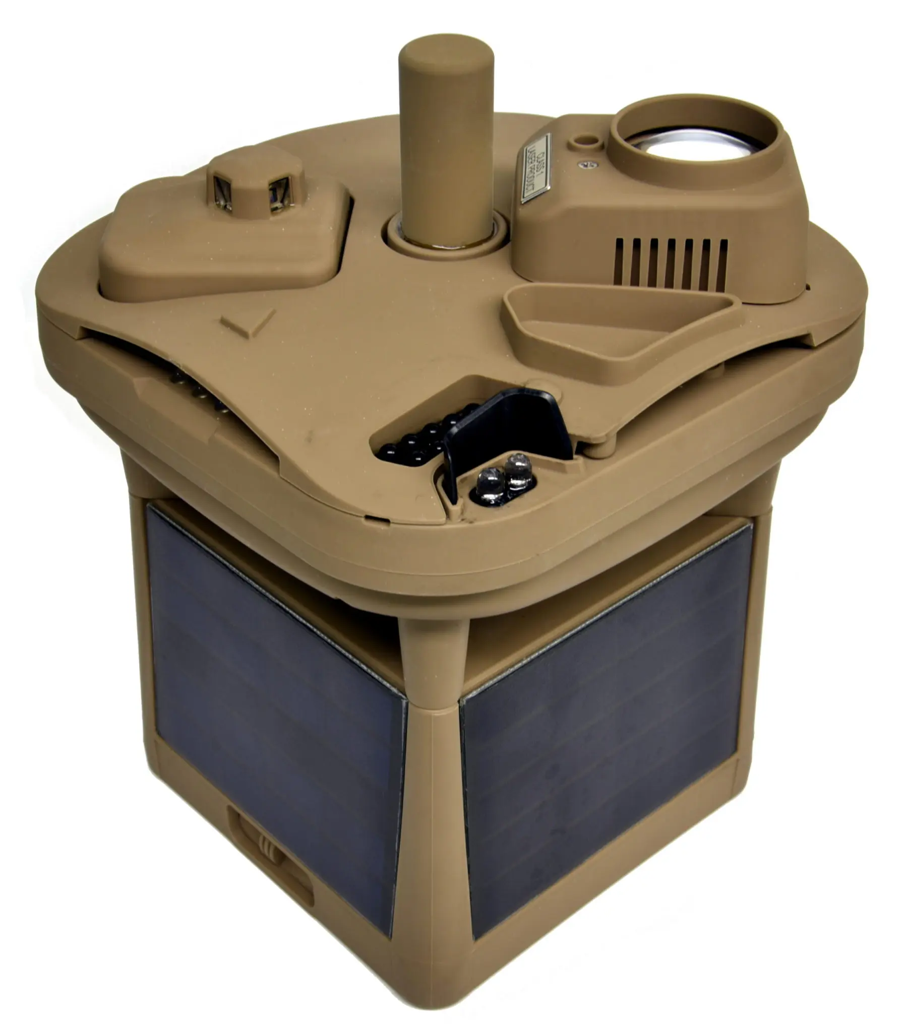
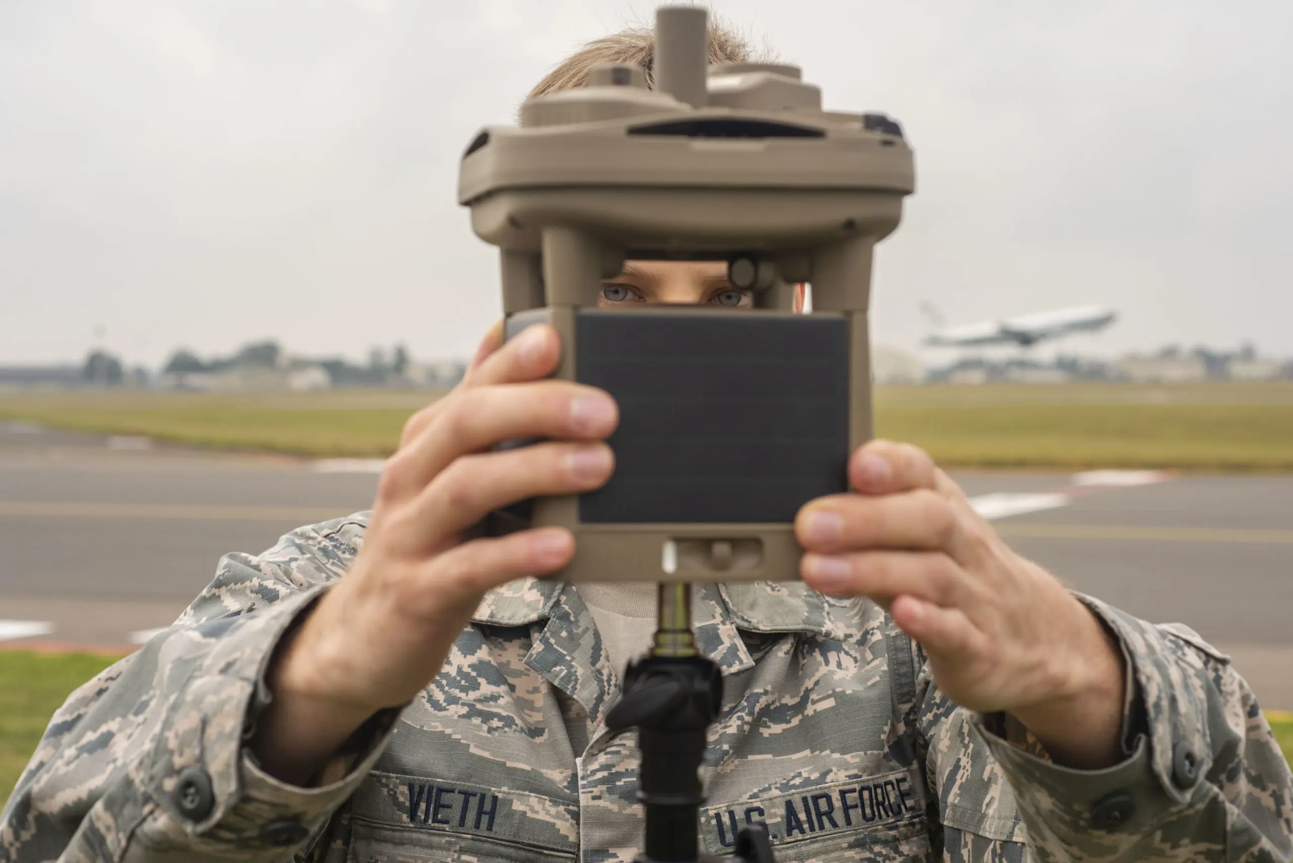
The MWS®-M625 includes all the same great features as our line of proven line of Micro Weather Stations (MWS®) and adds cloud height measurement and two-way Iridium satellite for more accurate and reliable meteorological reporting. The engineers at Intellisense designed the world’s smallest lidar ceilometer and integrated it into the already compact and wireless weather-sensing package. Alongside its temperature, barometric, wind speed/direction and visibility measurements, the M625 can measure cloud height up to 10,000 feet with 10% accuracy.
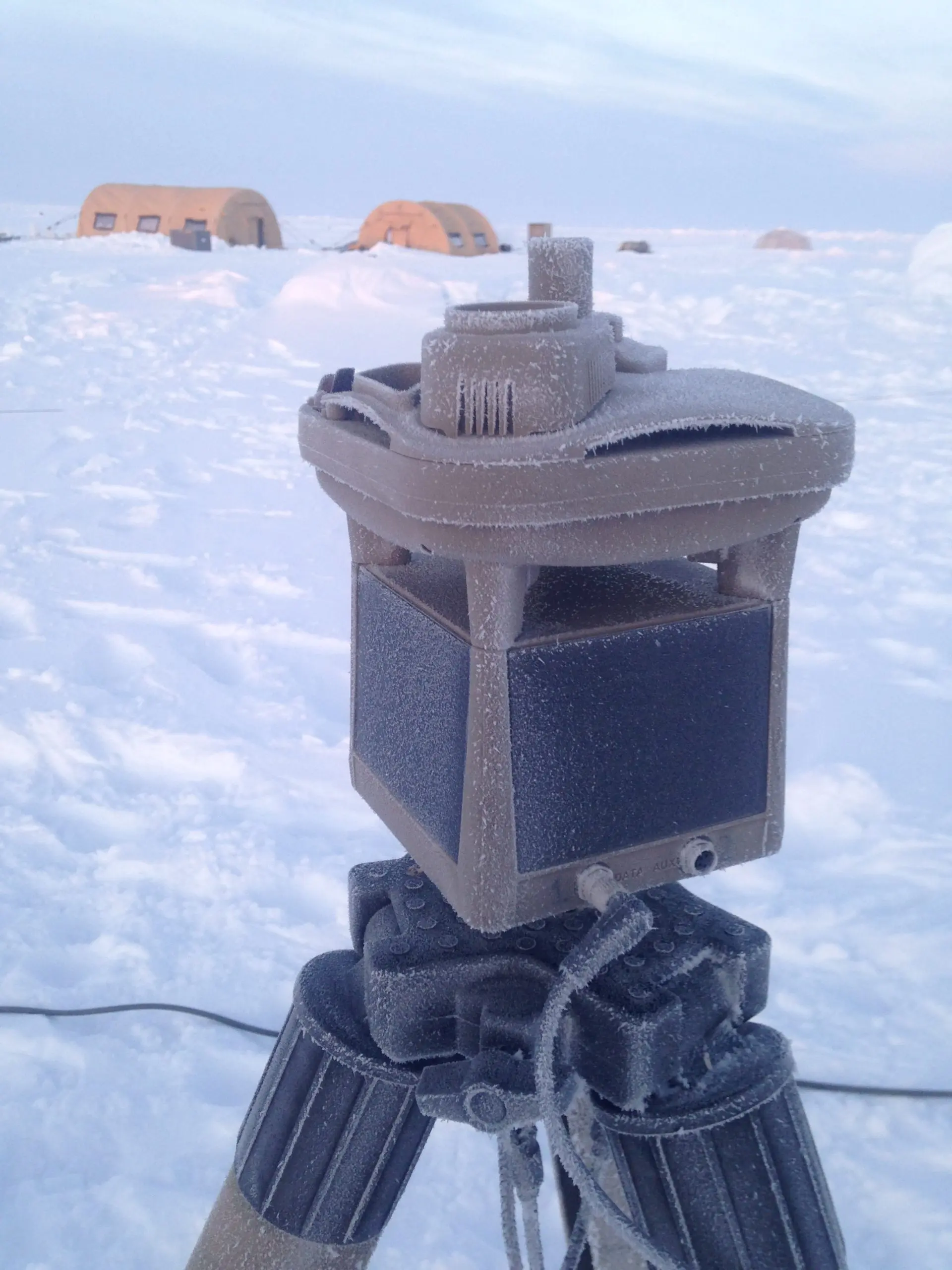
With this breakthrough, the M625 becomes the most ruggedized, lightweight and low-cost solution for weather sensing with cloud height measurement. Every system component and sensor in the M625 is fully integrated into a single, robust, self-contained unit that weighs just 3.8 pounds. As an unattended ground sensor (UGS), it is capable of being deployed globally in remote or denied locations for meteorological monitoring to improve situational awareness. The M625 can be hand- or air-emplaced and supports continuous, real-time weather reporting without the need for data loggers, processors or communication units being deployed into the field.
The addition of the world’s smallest cloud height measuring sensor and Iridium satellite connectivity makes the M625 a superior weather-sensing system that is rugged, lightweight and available at a significantly reduced cost compared to other meteorological systems.