Description
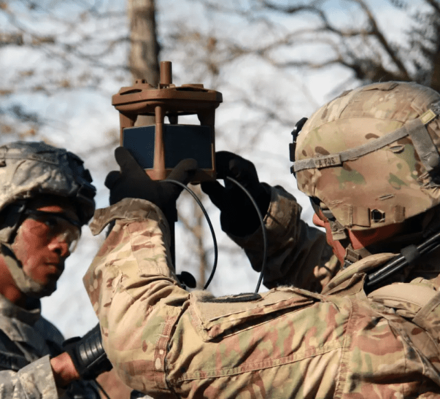
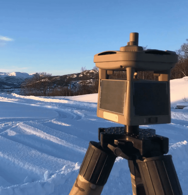
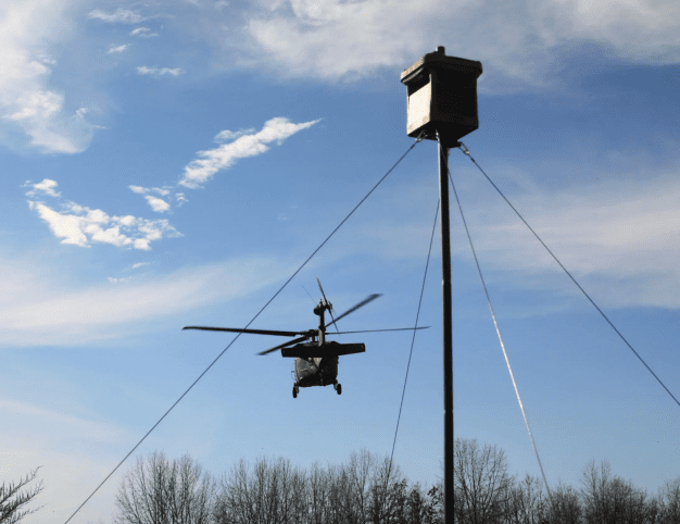
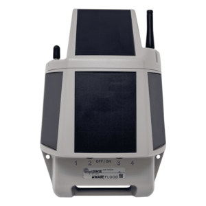
The MWS®-M525 is a low-cost, lightweight, ruggedized, autonomous all-in-one weather station. It eliminates the need for an external data logger, processor, communications unit, solar power system, and all the cables required to connect them. These components and parameters are fully integrated into the M525. Used as an unattended ground sensor (UGS), it is capable of being deployed globally in remote or denied locations for meteorological monitoring to improve situational awareness. The M525 can be hand- or air-emplaced and supports continuous, real-time weather reporting for ground and air operations, including incident meteorology for wildfire and disaster support.
The M525 combines all-weather observation capabilities into a single, compact package weighing 3.2 pounds, including unique integrated features such as a 360° panoramic imaging for “eyes on the ground” observations, self-locating GPS and compass, and a host of state-of-the-art stations to give a complete, current, and accurate weather picture. Internal rechargeable batteries for sustained operations, as well as global satellite command/control connectivity, allow for fully remote, autonomous operation of the system.
With its unique mix of capabilities, the M525 provides an enhanced and unparalleled rugged system capability at a significantly reduced cost compared to legacy tactical meteorological systems.


